
Route Type: Closed circular
Approximate Distance: 10 km
Difficulty: Low to medium
Estimated Duration: 5–3 hours on foot
Main Attractions: Scenic landscapes, agricultural heritage, and rural architecture
Start and End Point: Villalboñe
Route Type: Closed circular
Approximate Distance: 10 km
Difficulty: Low to medium
Estimated Duration: 5–3 hours on foot
Main Attractions: Scenic landscapes, agricultural heritage, and rural architecture
Start and End Point: Villalboñe
This comprehensive itinerary traverses paths imbued with the scents of sowing, adobe, and time. It passes through villages that preserve dovecotes, threshing floors, bell gables, and tool sheds. Ideal for exploring peasant architecture and the contours of the landscape.

Segment C1: Villalboñe – Carbajosa via the Hermitage Viewpoint Path (1.35 km)
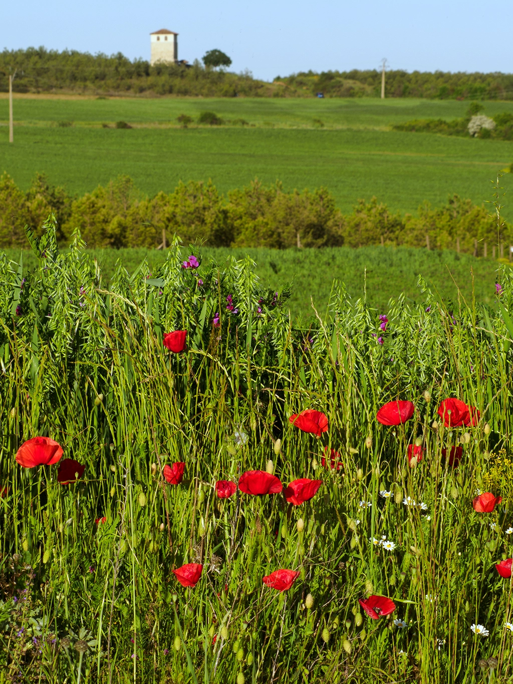
The route begins in Villalboñe, a small village steeped in history, where the tower of its ancient church still stands as a silent sentinel over the plain. This stone structure, weathered by centuries of wind, bears the marks of time like a sculpted altarpiece.
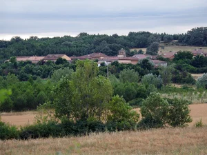
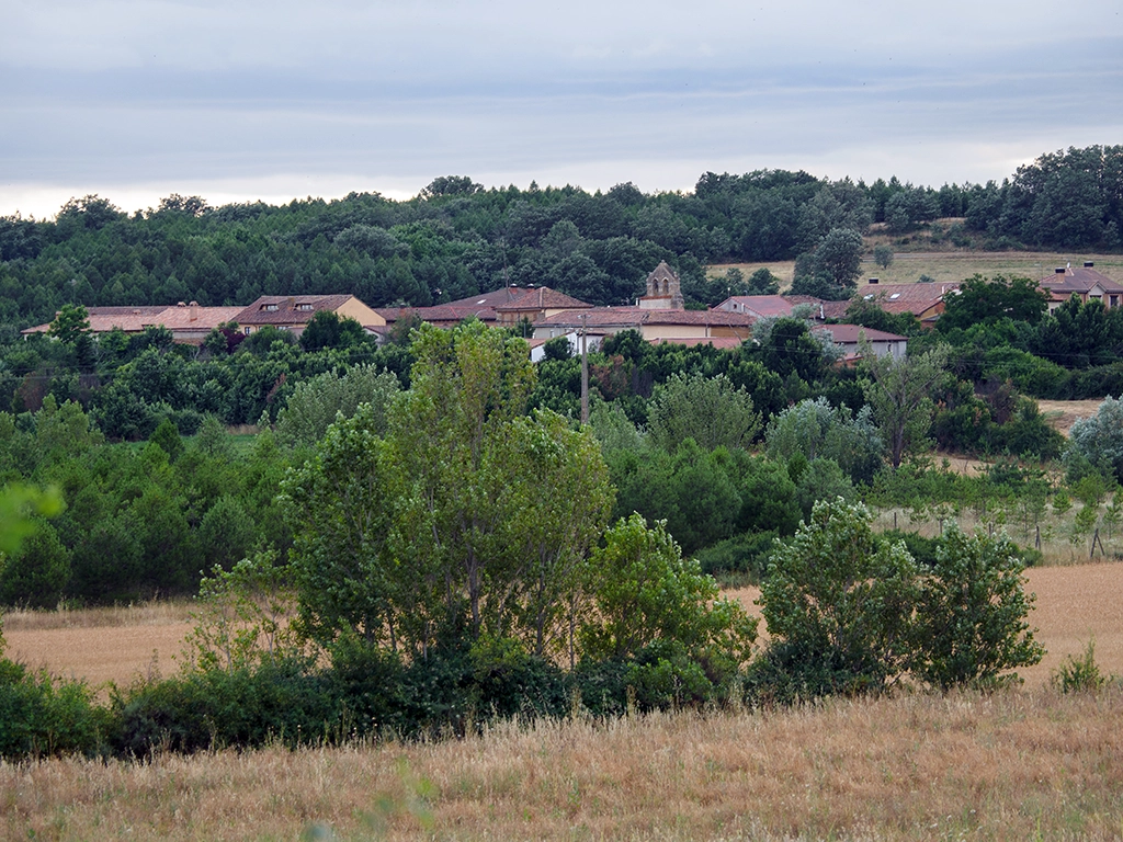
Proceeding westward along paths flanked by cultivated fields, the landscape unfolds in orderly plots of cereal and fallow land. Upon reaching the area of Carbajosa de la Sobarriba, the path ascends to the former site of the Carbajosa hermitage. Though the hermitage no longer exists, a towering iron cross and a stone altar remain beside the cemetery, overlooking the fields and hills. In the distance, across the road, the village of Carbajosa appears, characterized by its low houses and the silent traces of rural life.
From the viewpoint, the path descends gently to the road connecting León to Villafeliz. Walking a short distance towards León, a path leads into Carbajosa, where the parish church, with its bell gable and artistic treasures, stands at the village center.
Segment C2: Carbajosa – Santovenia through the Woods (3.3 km)
Leaving Carbajosa, the route follows the forest path northwestward. This ancient trail ascends gently through a hillside adorned with oaks, holm oaks, rockroses, and brooms, immersing the traveler in a semi-wild environment. Occasionally, the rugged landscape opens up to reveal distant views of La Sobarriba’s valleys, offering a dynamic display of light and color.
In spring and autumn, the greens, golds, and reds transform this path into a living tapestry. Wildlife, though discreet, is abundant: hares dart silently, foxes cross nonchalantly, and partridges blend into the underbrush. Upon cresting a small hill, Santovenia del Monte emerges on the horizon, its stone bell gable signaling human presence amidst the vast countryside.
The final descent into the village offers a broader view of the landscape, leading into the tranquil streets of Santovenia, known for its popular architecture. The village church houses several noteworthy sculptures, humble treasures that endure as the community’s soul.
Segment C3: Santovenia – Villafeliz (Approximately 2.2 km)
From Santovenia’s church, the path descends to the road, continuing eastward along a trail that traverses low scrubland with brambles and brooms, eventually opening into cultivated plains. The terrain gently descends and then ascends towards Villafeliz de la Sobarriba, which appears as a light patch amidst the reddish and green hues of the land.
This segment evokes traditional transit routes used by muleteers, farmers, and villagers in their daily routines. The lack of shade makes the sky a constant companion, rendering this stretch particularly beautiful at dawn or dusk. Near the village, several traditional dovecotes constructed of adobe and rammed earth, with tiled cornices and minimal openings, stand. Though some are in ruins, they retain their dignity and recall the pigeons’ value in the rural economy.
Segment C4: Villafeliz – Villalboñe (Approximately 2 km)
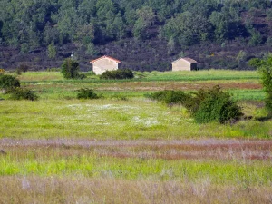
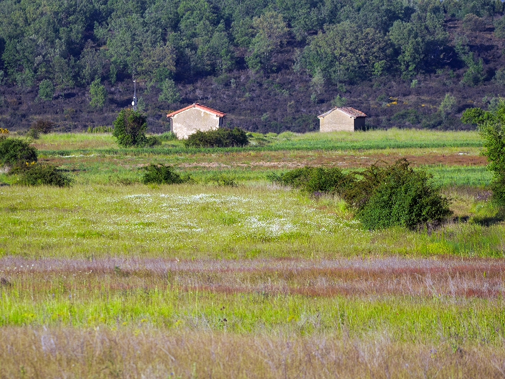
Exiting Villafeliz, a short stretch along the local road leads to a path where two tool sheds can be seen—small structures that once served as temporary shelters and storage during sowing, harvesting, or waiting periods.
Some of these sheds remain intact, while others have begun to yield to time, forming an open-air museum of vernacular peasant architecture, crafted without architects or blueprints but with the functional wisdom of those who know the land. The landscape alternates between pastures, cereal fields, fallow land, and areas where old orchards or threshing floors can still be discerned.
Rejoining the road briefly, a well-marked rural path diverges, winding through fields. The surroundings are agricultural, orderly, and luminous.
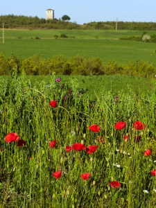
In the distance, the tower of Villalboñe rises once more on the horizon, marking the end of this circular route where nature, agriculture, and humanity intertwine in a slow, profound, and visually moving narrative.
Route Segments:
Highlights:
Churches of San Esteban and Carbajosa, the tower of Villalboñe, traditional dovecotes in Villafeliz, dry stone walls, threshing floors, and traditional orchards.
Recommendations:
Ideal for landscape photography and exploring rural architecture. Carry water and avoid days with intense heat or heavy rain.
Route Segments:
Highlights:
Churches of San Esteban and Carbajosa, the tower of Villalboñe, traditional dovecotes in Villafeliz, dry stone walls, threshing floors, and traditional orchards.
Recommendations:
Ideal for landscape photography and exploring rural architecture. Carry water and avoid days with intense heat or heavy rain.

Discover Sobrarriba through an unforgettable journey through its heritage, culture and landscapes. The Sobrarriba Cultural Route offers guided tours and detailed explanations at various points of interest, combining history, architecture, traditions and nature in a unique experience.
Each route is designed to suit different types of travellers: from walkers and cyclists to those who prefer horse riding or even hot air ballooning. Join us on a journey through time and delve into the secrets of a land that has witnessed centuries of history.

Discover Sobrarriba through an unforgettable journey through its heritage, culture and landscapes. The Sobrarriba Cultural Route offers guided tours and detailed explanations at various points of interest, combining history, architecture, traditions and nature in a unique experience.
Each route is designed to suit different types of travellers: from walkers and cyclists to those who prefer horse riding or even hot air ballooning. Join us on a journey through time and delve into the secrets of a land that has witnessed centuries of history.